INFRASTRUCTURE
Drone Inspections: How they are Revolutionising Data Acquisition
Drone Inspections: How they are Revolutionising Data Acquisition As technology advances, companies are increasingly looking for more efficient, cost-effective, and

Drone Inspections: How they are Revolutionising Data Acquisition As technology advances, companies are increasingly looking for more efficient, cost-effective, and
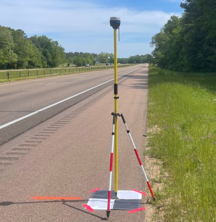
Introduction Ground Control Points (GCPs) are essential elements in the business of photogrammetry and geospatial analysis. They serve as anchor
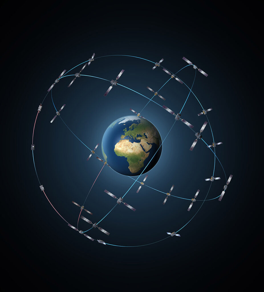
Aerial surveying is benefiting businesses in dozens of different industries and you can benefit too, but what accuracy or requirements
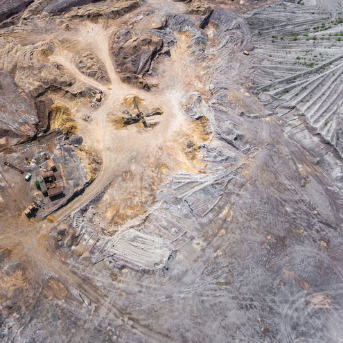
Drones are revolutionizing the way the mining sector is operating. Find out how aerial surveying using drones can save you
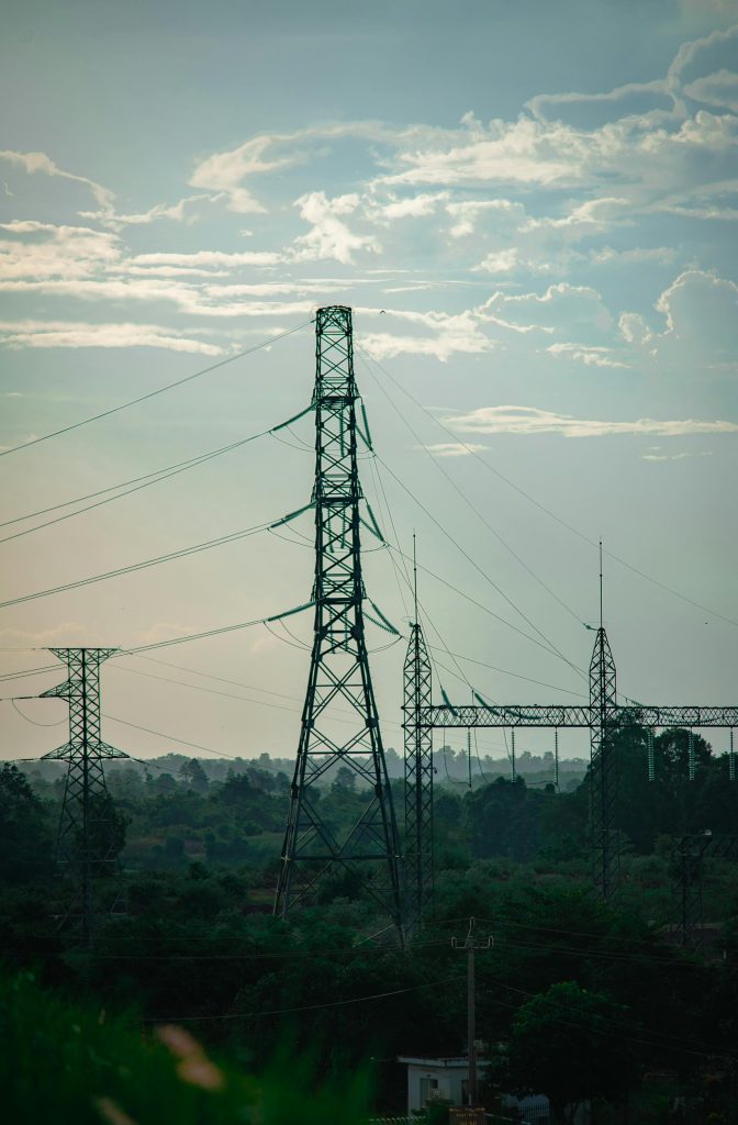
If you are hiring a drone operator for aerial mapping or asset inspections then you need to read this article!