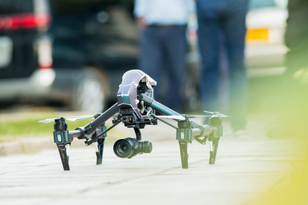
Welcome to UAS Imagery, South East Queensland’s premier provider of advanced aerial solutions. With a strong commitment to innovation and precision, we specialize in drone mapping, aerial surveying, photogrammetry, 3D modeling, and comprehensive drone inspections. Our expertise and cutting‐edge technology enable us to deliver actionable insights for industries ranging from mining and construction to government and infrastructure, making us the first choice for clients seeking industry-leading aerial services.
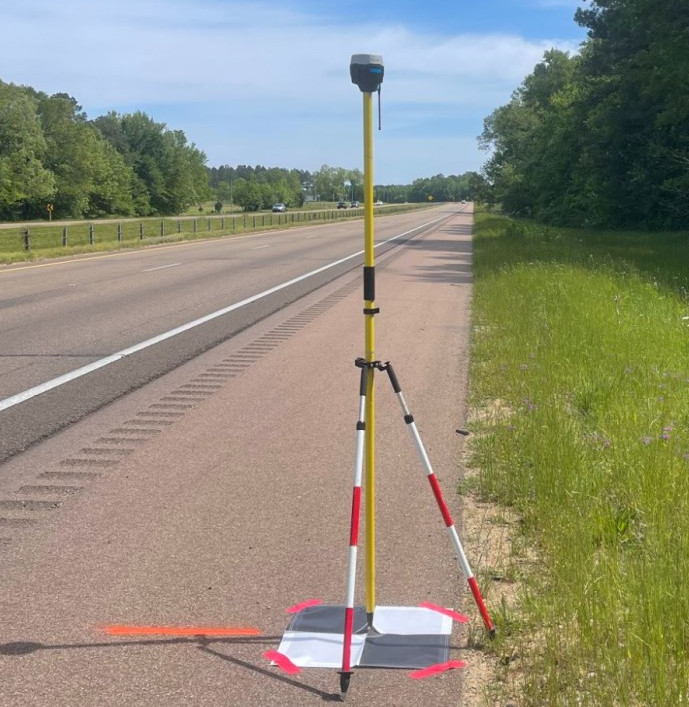
At UAS Imagery, our passion is transforming the way businesses capture and analyze data. We understand that accurate, timely information is crucial in today’s fast-paced market. That’s why our drone mapping services utilize state-of-the-art drones and sensors to gather high-resolution aerial imagery and geospatial data. Our experienced team combines advanced technology with in-depth local knowledge of South East Queensland to ensure that every project meets the highest standards of quality and reliability.
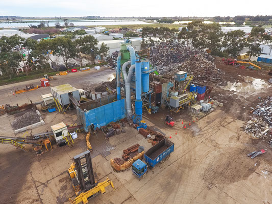
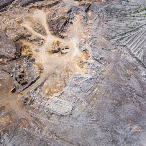
Our aerial surveying solutions are designed to provide a comprehensive overview of any site, no matter how challenging the terrain. By leveraging the latest in unmanned aerial systems (UAS) technology, we capture precise data that forms the foundation of edatoto our detailed analyses. This service is especially valuable for the mining and construction sectors, where rapid decision-making can lead to increased safety and efficiency. With our aerial surveying expertise, you gain not just maps, but a strategic asset that can streamline project planning and execution.
Photogrammetry is at the heart of our technical offerings. This sophisticated method allows us to convert aerial imagery into accurate measurements and detailed 3D representations. By employing advanced photogrammetric techniques, we provide clients with reliable data for environmental monitoring, asset management, and urban planning. Whether you are a government body planning infrastructure improvements or a construction company tracking site progress, our photogrammetry services ensure you have the precise information you need.
Complementing our photogrammetry capabilities is our 3D modeling service. We transform raw data into interactive, three-dimensional models that reveal the intricacies of your project with stunning clarity. These models serve as powerful tools for visualizing complex structures, planning upgrades, and performing detailed analyses. Industries such as infrastructure, energy, and public works benefit immensely from our 3D modeling, which bridges the gap between raw data and actionable insights.
Safety and efficiency are the cornerstones of our drone inspections. We deploy advanced drone inspections to evaluate critical assets in hazardous or hard-to-reach locations, such as bridges, powerlines, and industrial facilities. Our inspections not only minimize risks associated with traditional methods but also provide faster, more accurate assessments. Clients in mining, infrastructure, and government sectors trust us to deliver comprehensive inspection reports that help them maintain operational excellence and ensure public safety.
Operating in South East Queensland gives us unique insights into the regional landscape, allowing us to tailor our services to the specific needs of local industries. Our proven track record in working with mining, construction, government, infrastructure, and other essential sectors speaks to our versatility and commitment to quality. We continuously invest in the latest drone technology and software, ensuring that our clients always have access to the best in drone mapping, aerial surveying, photogrammetry, 3D modeling, and drone inspections.
When you choose UAS Imagery, you’re not just hiring a service provider – you’re partnering with a team of dedicated professionals passionate about delivering precision, safety, and innovation. Let us help you unlock the full potential of aerial data to drive your projects forward. Contact us today to discover how our industry-leading solutions can transform your operations and give you a competitive edge in South East Queensland and beyond.