
Ground Control Points: The Backbone of Precision in Photogrammetry
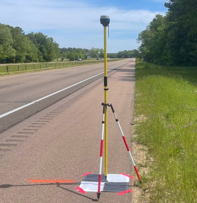
Introduction Ground Control Points (GCPs) are essential elements in the business of photogrammetry and geospatial analysis. They serve as anchor points that tie photogrammetric data to real-world coordinates, ensuring accuracy and reliability in mapping and surveying projects. This article will dive into what GCPs are, their importance, their role in enhancing the accuracy of maps […]
Aerial Mapping: What is GPS, GNSS, RTK, PPK
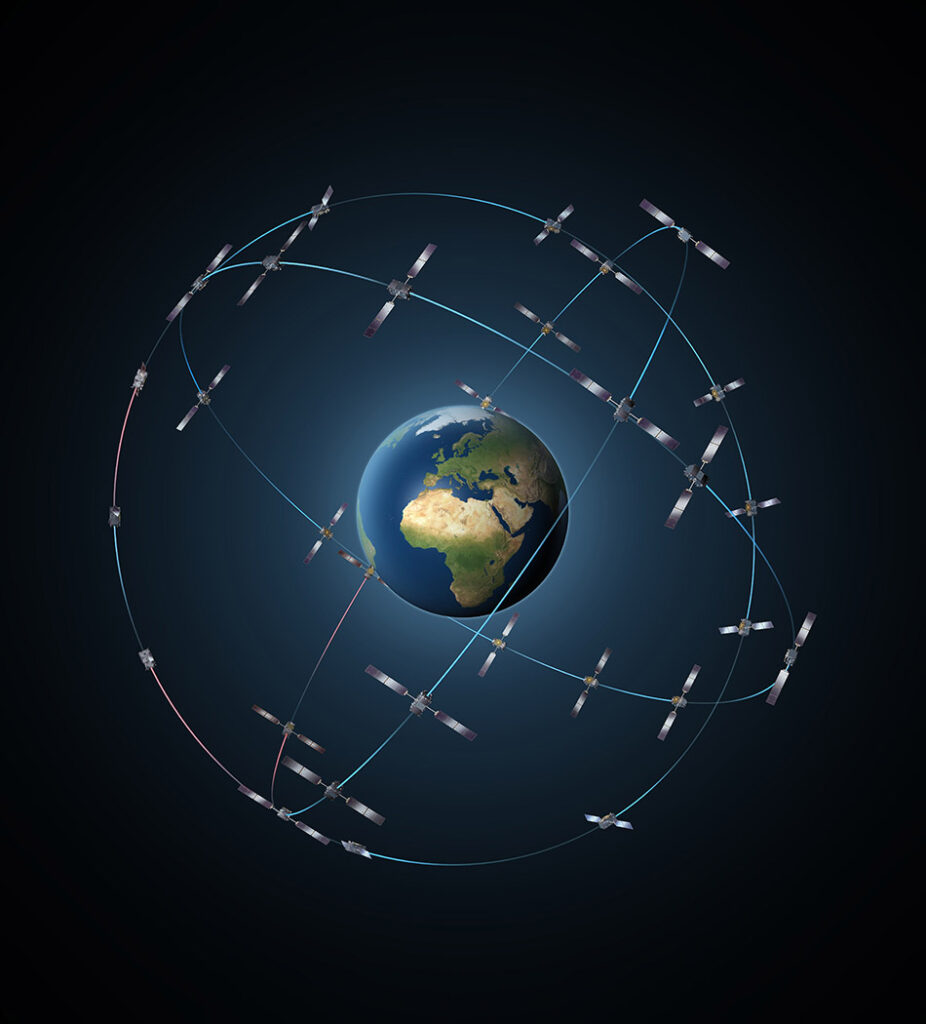
Aerial surveying is benefiting businesses in dozens of different industries and you can benefit too, but what accuracy or requirements do you need? If you are looking to innovate your business, save time and money all while increasing productivity and accuracy of your projects, you need to read this article. We will explain (in plain english) about GPS, GNSS, RTK and PPK, their limitations, advantages and their disadvantages.